Get FREE email communications from Fodor's Travel, covering must-see travel destinations, expert trip planning advice, and travel inspiration to fuel your passion.
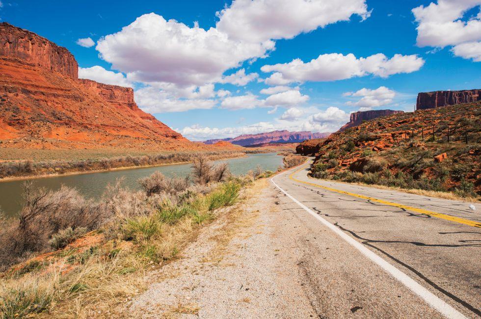
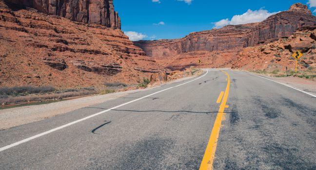
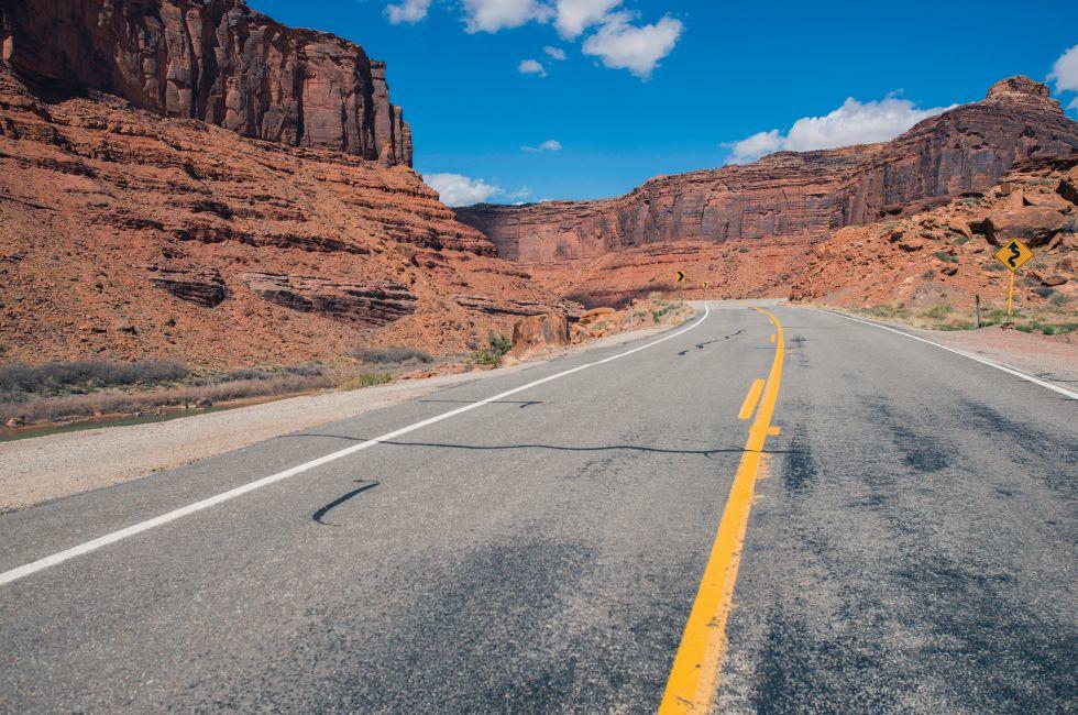
Scenic Utah Highway 128 Along Colorado River. Moab, Utah, United States.
Photo Credit: welcomia / Shutterstock
SHOW THUMBNAILS HIDE THUMBNAILS
3 of 19
3 of 19
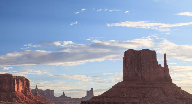
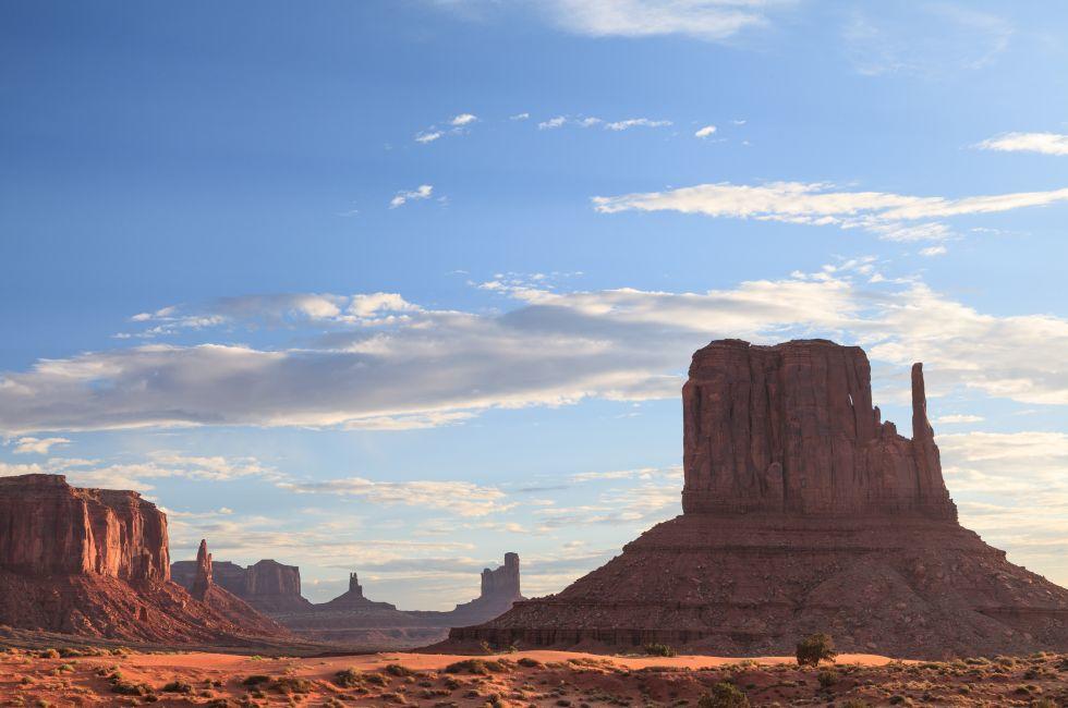
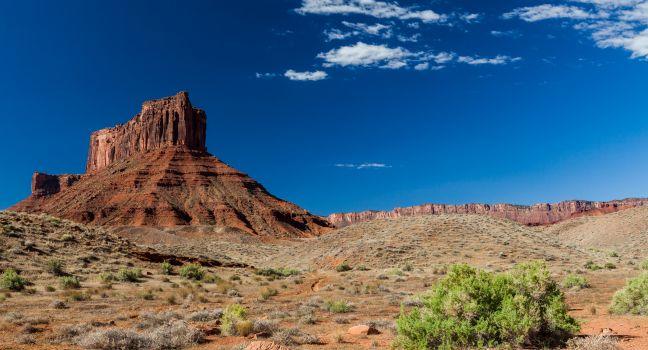
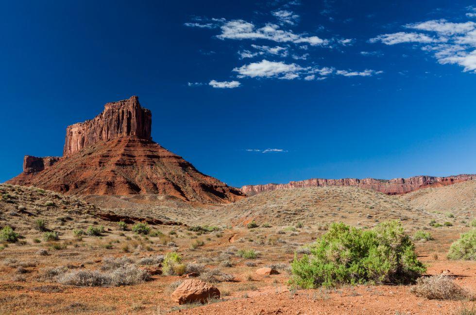
View of buttes and mesas of Monument Valley Navajo Tribal Park
Photo Credit: Guoqiang Xue / Shutterstock
SHOW THUMBNAILS HIDE THUMBNAILS
4 of 19
4 of 19
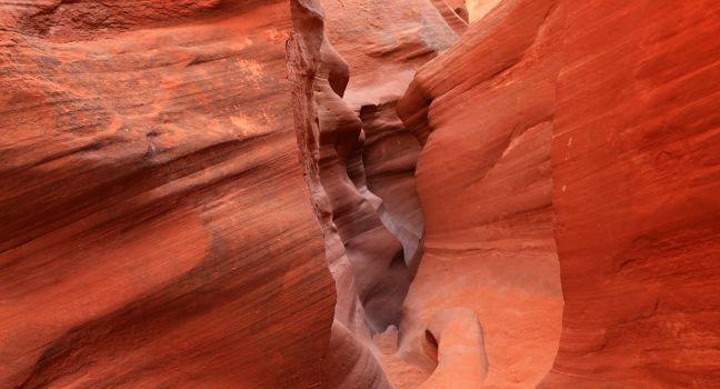
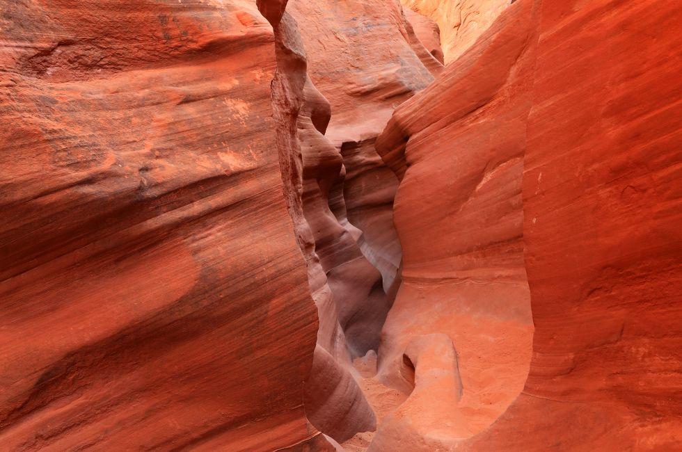
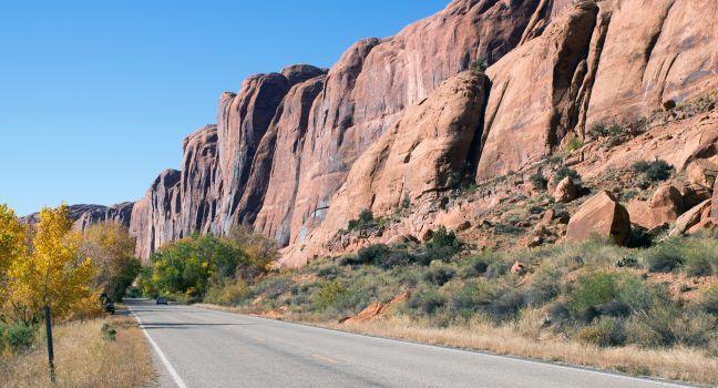
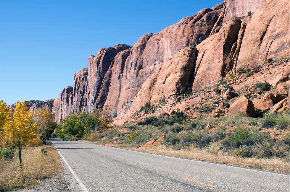
State Route 279 (Potash Rd.) is a state highway in the U.S. state of Utah
Photo Credit: IrinaK / Shutterstock
SHOW THUMBNAILS HIDE THUMBNAILS
5 of 19
5 of 19
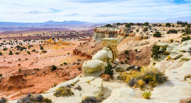
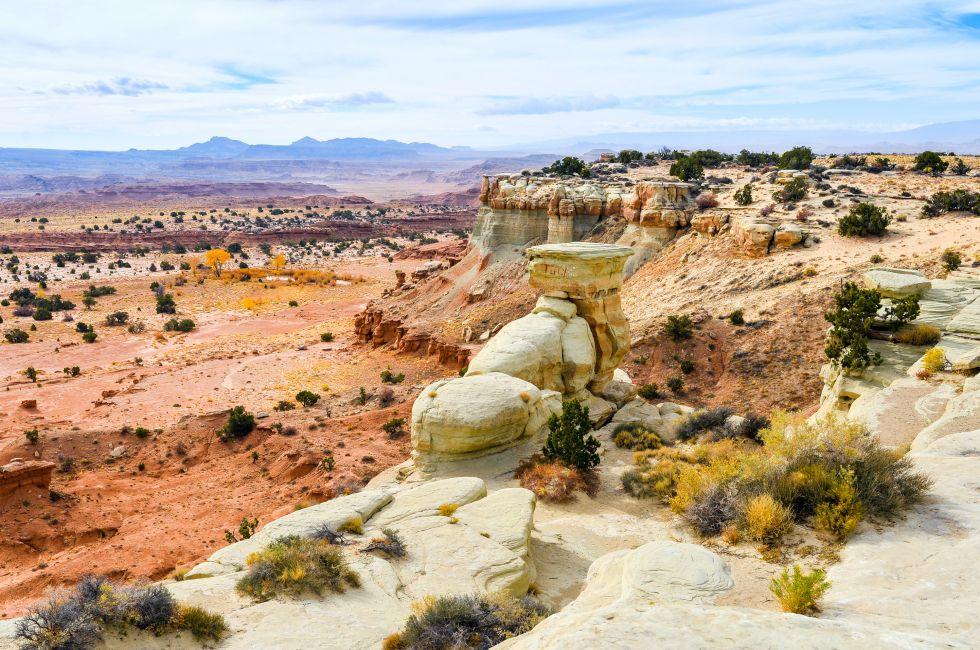
Overlooking The San Rafael Swell - Utah
Photo Credit: jejim / Shutterstock
SHOW THUMBNAILS HIDE THUMBNAILS
6 of 19
6 of 19
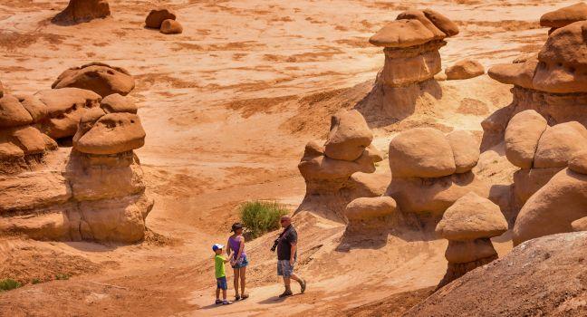
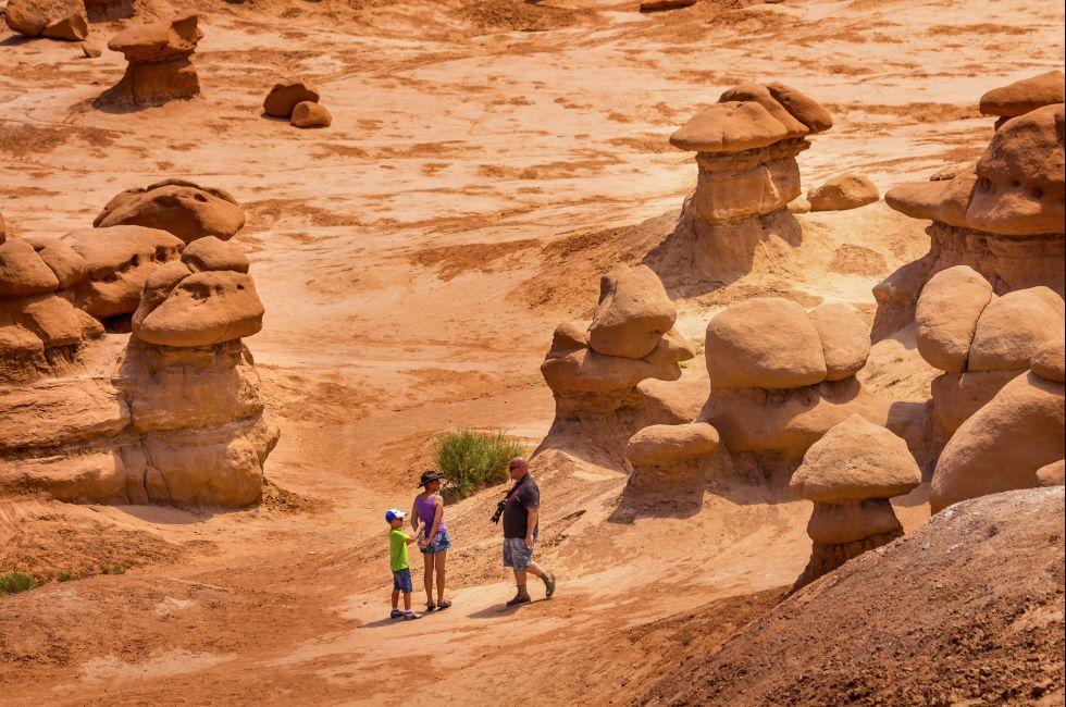
GREEN RIVER, UT, USA-JULY 2, 2013 Family Walks Among Goblins Mushroom Shaped Hoodoos Goblin Valley State Park Rock Canyon San Rafael Desert. Thousands of sandstone hoodoos like modern art statues.
Photo Credit: Bill Perry / Shutterstock
SHOW THUMBNAILS HIDE THUMBNAILS
7 of 19
7 of 19
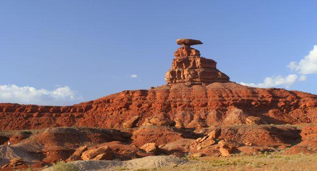
Mexican Hat
Photo Credit: gary yim / Shutterstock
SHOW THUMBNAILS HIDE THUMBNAILS
8 of 19
8 of 19
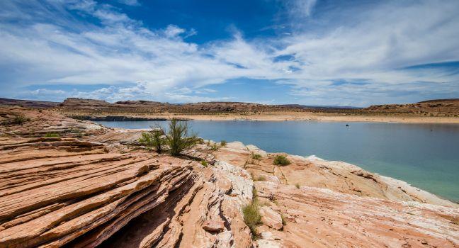
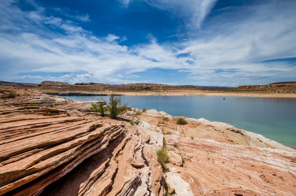
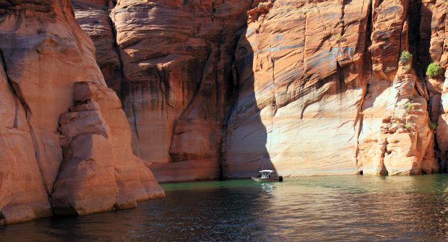
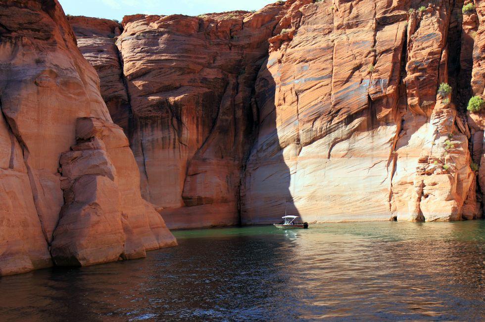
Lake Powell
Photo Credit: COLOMBO NICOLA / Shutterstock
SHOW THUMBNAILS HIDE THUMBNAILS
9 of 19
9 of 19
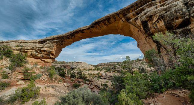
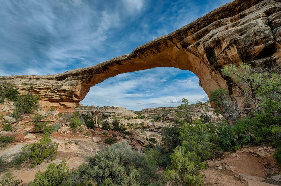
Owachomo Natural Bridge in Natural Bridges National Monument in Lake Powell, Utah
Photo Credit: Nagel Photography / Shutterstock
SHOW THUMBNAILS HIDE THUMBNAILS
10 of 19
10 of 19
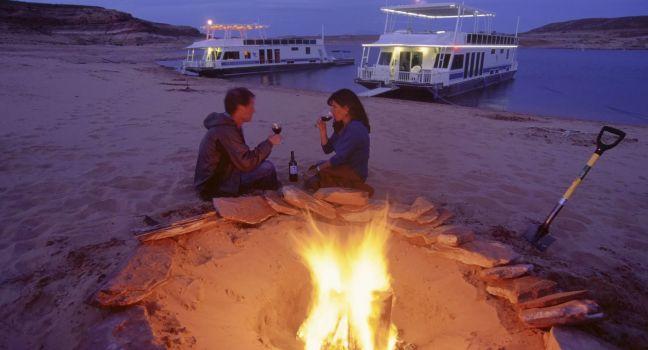
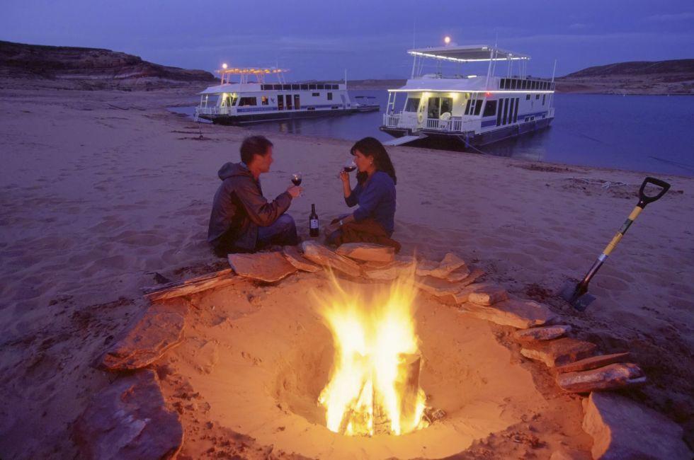
Lake Powell, in Glen Canyon spans 186 miles in Utah and Arizona. its coastline is populated with colorful sandstone cliffs, pristine blue green water, islands, rock formations, resorts and marinas
Photo Credit: Joyce Marrero / Shutterstock
SHOW THUMBNAILS HIDE THUMBNAILS
11 of 19
11 of 19
Lake Powell, Utah
Photo Credit: Peter Guttman/Peterguttman.com
SHOW THUMBNAILS HIDE THUMBNAILS
12 of 19
12 of 19
Moab, Utah
Photo Credit: Peter Guttman/Peterguttman.com
SHOW THUMBNAILS HIDE THUMBNAILS
13 of 19
13 of 19
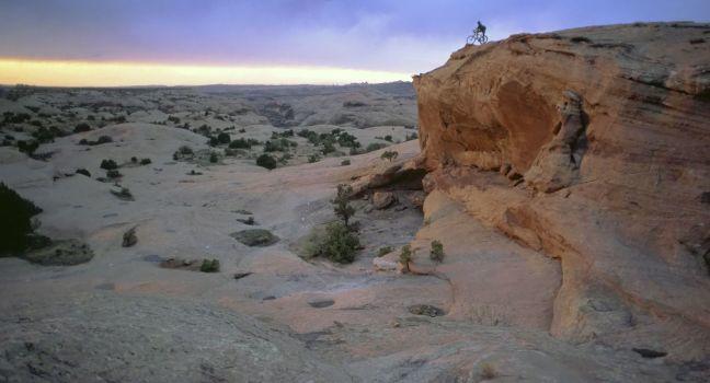
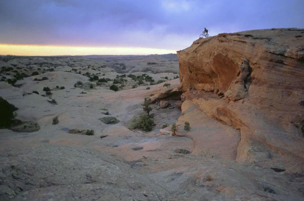
Slickrock Trail, mountain biking Moab, Utah
Photo Credit: Peter Guttman/Peterguttman.com
SHOW THUMBNAILS HIDE THUMBNAILS
14 of 19
14 of 19
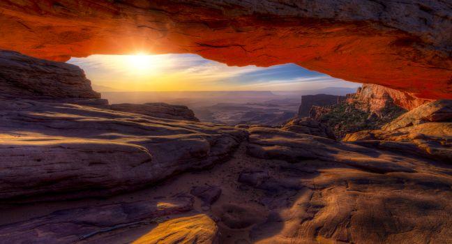
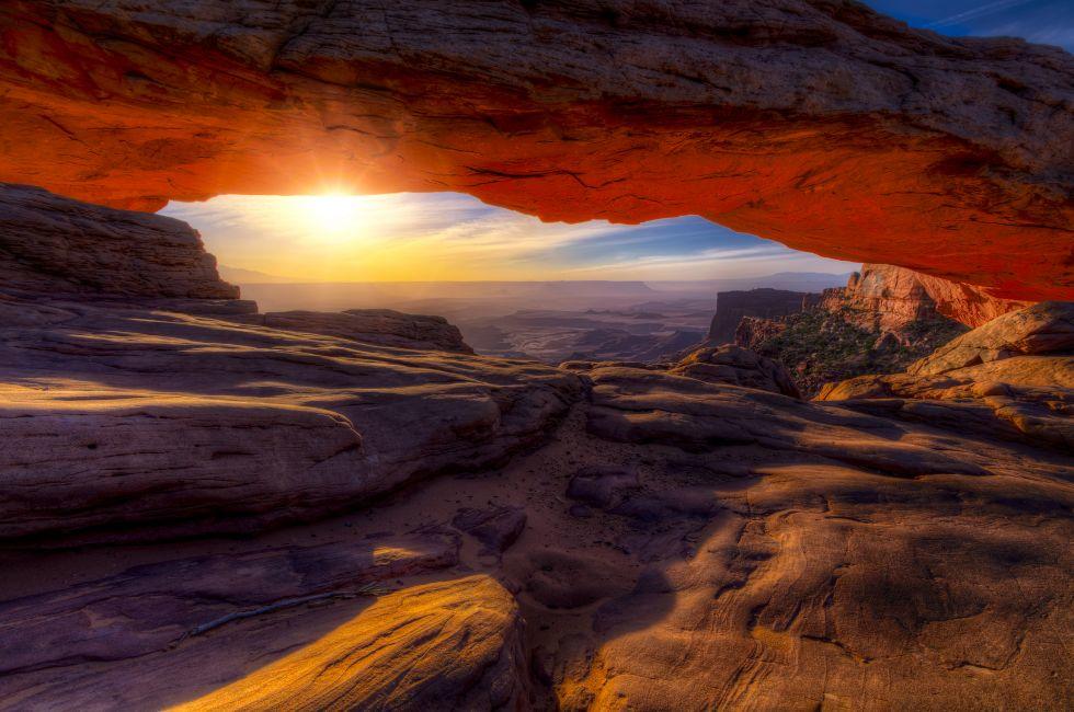
Iconic arching rock formation at dawn near Moab, Utah
Photo Credit: Dean Fikar / Shutterstock
SHOW THUMBNAILS HIDE THUMBNAILS
15 of 19
15 of 19
American West Highway. Scenic Utah Highway 128. United States.
Photo Credit: welcomia / Shutterstock
SHOW THUMBNAILS HIDE THUMBNAILS
16 of 19
16 of 19
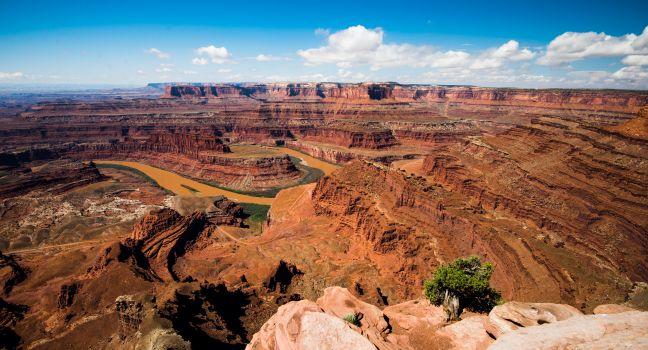
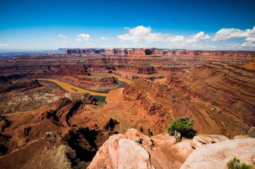
Dead horse point
Photo Credit: Pung / Shutterstock
SHOW THUMBNAILS HIDE THUMBNAILS
17 of 19
17 of 19
Castle Valley, Moab, Utah, USA
Photo Credit: Oscity / Shutterstock
SHOW THUMBNAILS HIDE THUMBNAILS
18 of 19
18 of 19
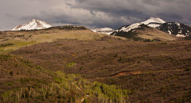
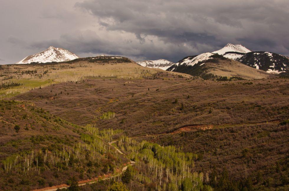
The scenic La Sal Mountain Loop drive. Moab, Utah
Photo Credit: EastVillage Images / Shutterstock
SHOW THUMBNAILS HIDE THUMBNAILS
19 of 19
19 of 19
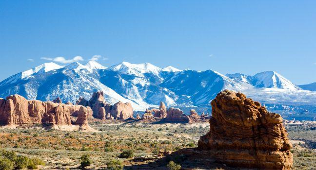
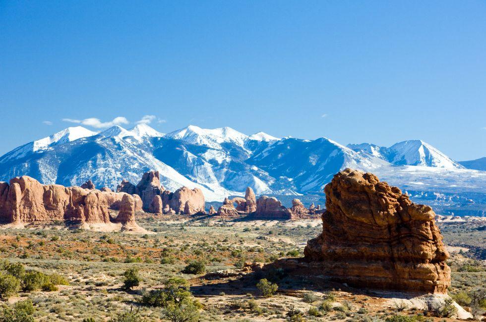
Arches National Park with La Sal Mountains, Utah, USA
I want emails from Fodor's Travel with travel information and promotions. I can unsubscribe any time using the unsubscribe link at the end of all emails.
Thank you for your interest!
Look out for our newsletters with travel tips and special offers.
Sign up for Travel Tips & News
By signing up for the newsletter, I agree to the Privacy Policy. You must check the box to subscribe
Thank you for your interest!
Look out for our newsletters with travel tips and special offers.

 Sign up for Travel Tips & News
 Thank you for your interest!